
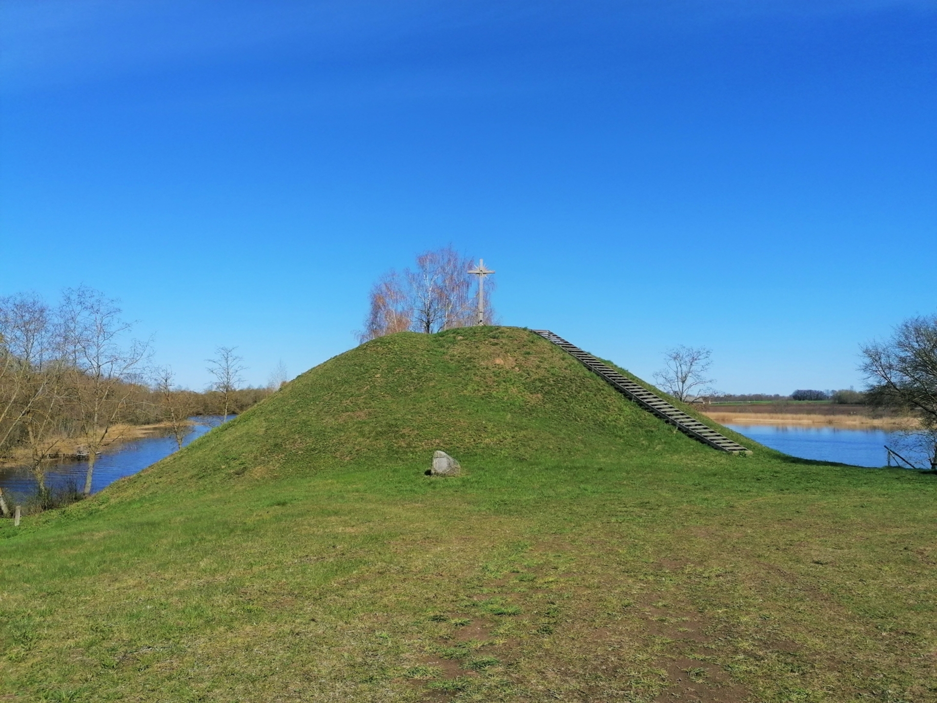
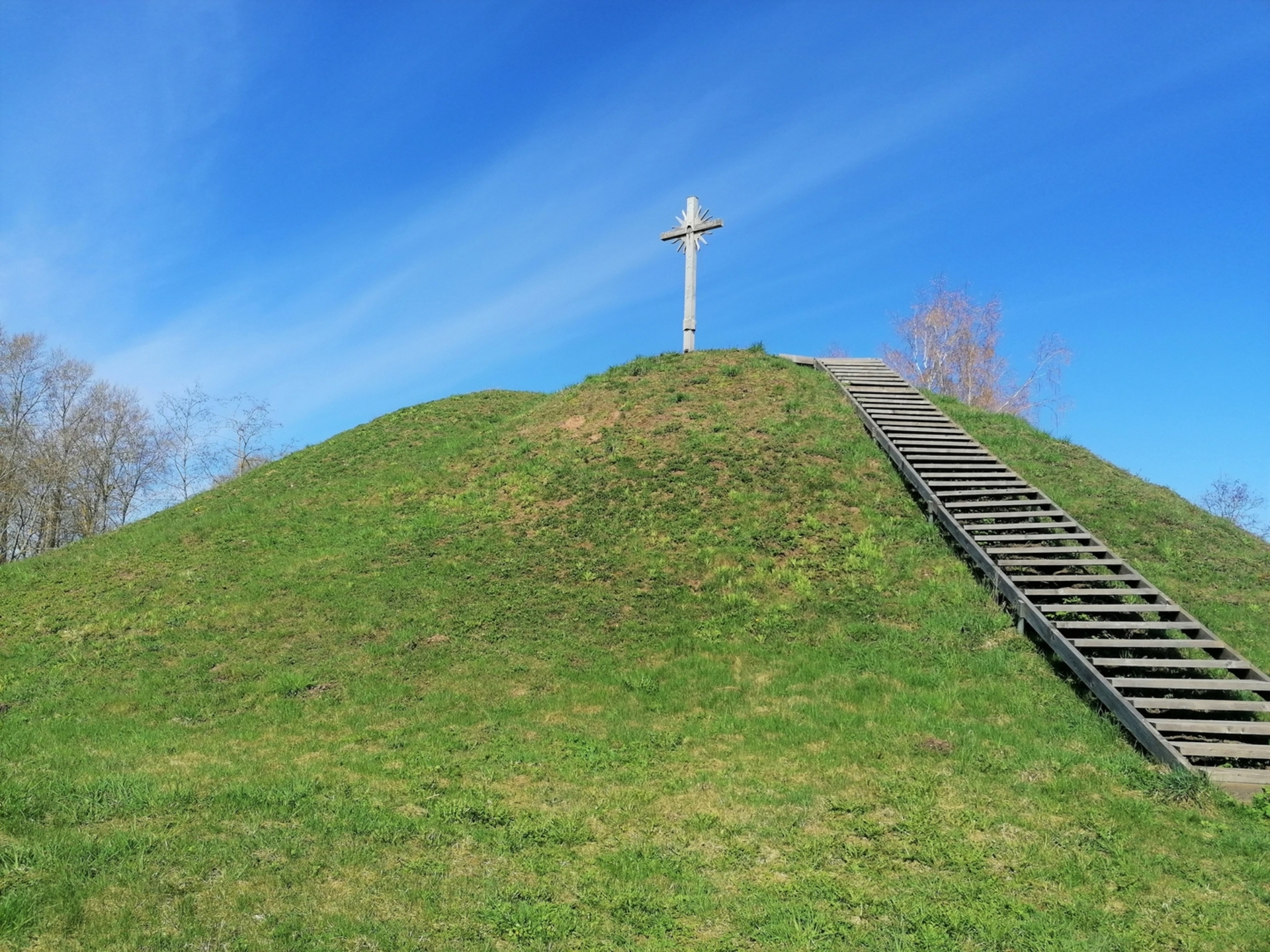
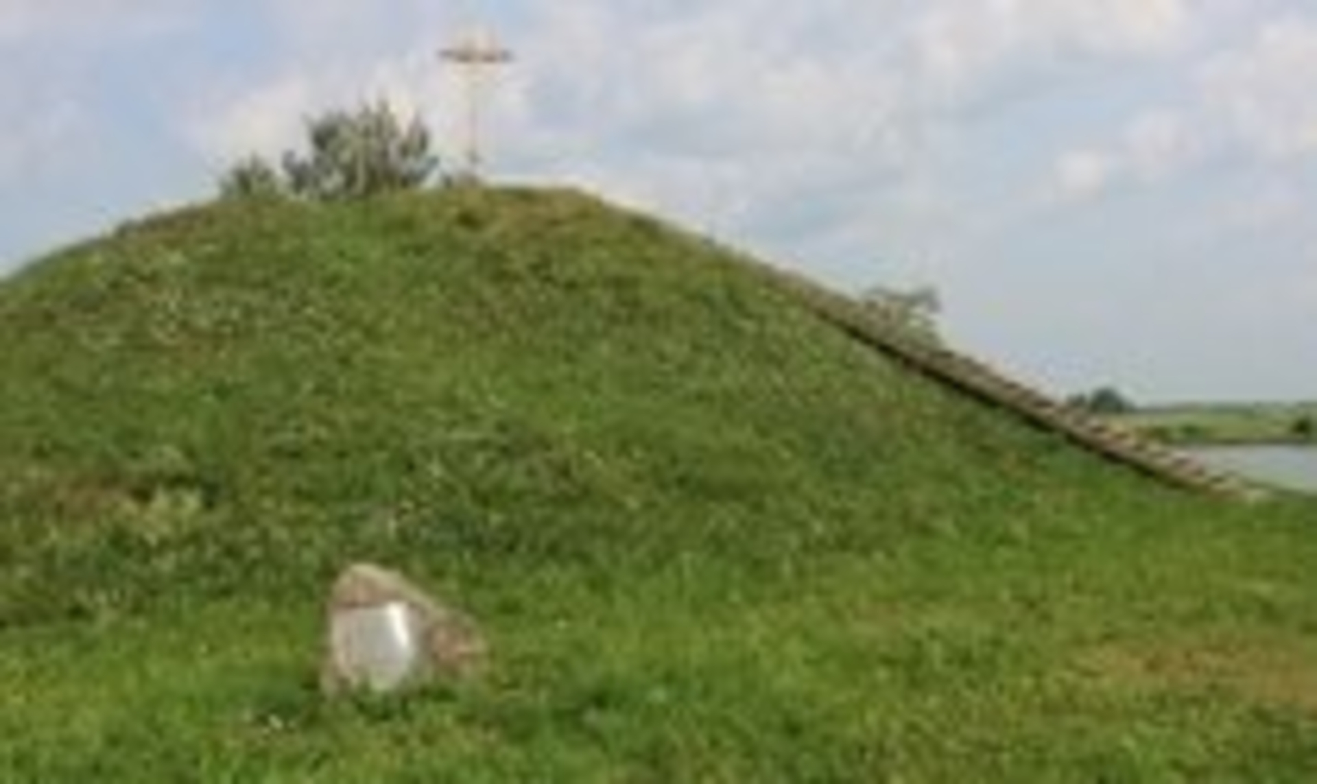
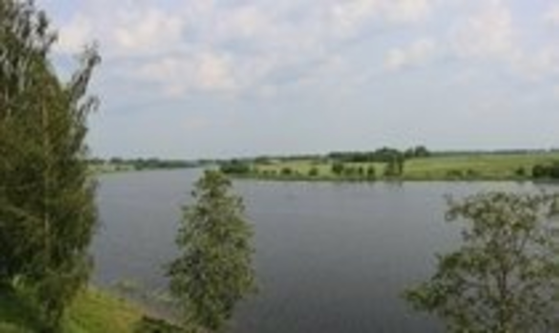
The hillfort, located on the confluence where Susve and Vingrys ( now a pond) met, dates back to the beginning of 1st -2nd millennium.
The hilltop is triangular, 36 m long and 17 m wide. The piled rampart is 4.5 m high, 25 m wide, the external 7 m slope descends to 40 m long, 8 m wide, 2.35 m deep moat. Steep slopes of the hillfort are 11 m high.
1977-1978 m. Algimantas Merkevičius excavated the entire hillfort area, and made the section of a defensive moat - 413 m2 in total. In this place he found up to 2.4 m thick cultural layer of the beginning of 2nd - 1st millennium BC consisting of the two horizons. At the basis up to 25 cm deep pottery, animal bones were found. In the upper horizon the remnants of 6 wooden buildings, iron knives, brass brooches, rings were found. It was ascertained that the rampart was piled two times.
The hillfort can be reached driving along the road Grinkiškis-Pypliai-Vaitiekūnai ( road no. 3429). Before going to Vaitiekūnai, turn left. The mound is 80 m away on the west bank of the pond.


Reviews